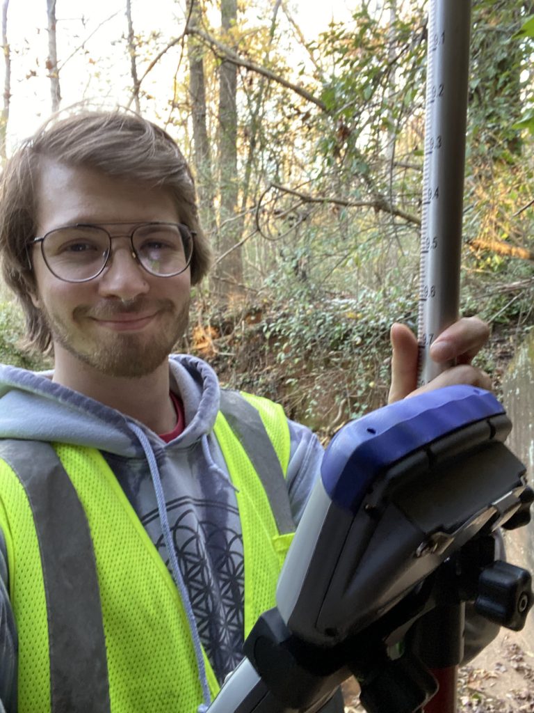
We’d like to congratulate three IRIS Master’s students on their recent thesis defenses! Bring your hands together for:
Hunter Kunzelmann

Natural Infrastructure Fellow
Informing Multi-Objective Wetland Design for Phosphorus Reduction and Waterbird Habitat in the Western Lake Erie Basin: A Case Study
Abstract: Constructed wetlands provide valuable ecosystem services such as phosphorus (P) retention and waterbird habitat, particularly in agriculturally dominated watersheds like the Western Lake Erie Basin. This study applied a parsimonious model (MARSH) to evaluate tradeoffs between these services under various management scenarios and wetland sizes across a wide range of future climate conditions, while incorporating external hydrology data to validate model performance. Results indicate that optimal wetland design depends less on wetland size and more on management objectives; static management of shallow water depths (~ 0.1 m) consistently maximizes P retention (1.03 g/m3), while dynamic management enhances biodiversity (37 waterbird species supported). Adaptive management strategies are vital for balancing ecosystem service co-provision. MARSH demonstrated reliability as a low-cost low-tech decision-support tool for engineering design of wetlands, offering comparable results to external hydrology methods. These findings contribute to improved multi-objective wetland design guidance, promoting effective restoration practices and supporting efforts to mitigate eutrophication and enhance waterbird habitat.
Dennis Catalina Granados Duran

Natural Infrastructure Fellow
Hydraulic Modeling of Shallow Water Impoundment System for Flood Mitigation in Riverine Systems
Abstract: The impact of river channel geometry on flood behavior has been widely studied on how floodplain reconnection can enhance meandering recovery, ecosystem services, and flood protection. However, research is needed on the size and locations of shallow water impoundments (SWIs) to mitigate floods. Therefore, this study examines the relationship between river hydraulics and SWI area to reduce downstream flooding. An idealized riverine system was developed and tested through hundreds of hydraulic model simulations. The findings enabled the creation of graphical tools and equations to design SWIs based on flow, slope, and geometry. High water stage reduction efficiency (up to 35%) was observed in mild slopes, with minor differences (≤0.7%) from real scenarios showing the accuracy of the tool. This research will lead to an understanding of flood dynamics and the SWI’s effectiveness in flood management and infrastructure planning by identifying areas where SWI can be strategically located.
Alexander Boland

Civil Engineering with Emphasis in Sustainable Coastal Engineering
Assessing Surface Transportation Flood Vulnerability in Coastal Georgia
The primary goal of this research is to create a vulnerability assessment of Georgia’s coastal roadways to storm surge flooding and sea level rise (SLR). Objectives are as follows: (1) Derive roadway crown elevations using the newly released coastal Georgia lidar elevation dataset. This is an improvement to projects in other regions, where the roadway is incorrectly assumed to be the same elevation as the surrounding land (Davis and Dow 2019). (2) Perform hydrodynamic simulations for each storm and SLR scenario using a newly updated, high-resolution (20 m resolution in the horizontal) ADCIRC+SWAN model of coastal Georgia. This is an improvement from existing roadway vulnerability assessments. (3) Overlay the results from Task 1 and 2 and determine overtopped road sections for each flooding scenario.


