
Redefining infrastructure for a more resilient world.
At the Institute for Resilient Infrastructure Systems (IRIS), we’re using our expertise to build a more resilient planet.
Our affiliates come from every corner of The University of Georgia and beyond to collaborate on a wide array of research and implementation projects. Explore them below.
Project Portfolio
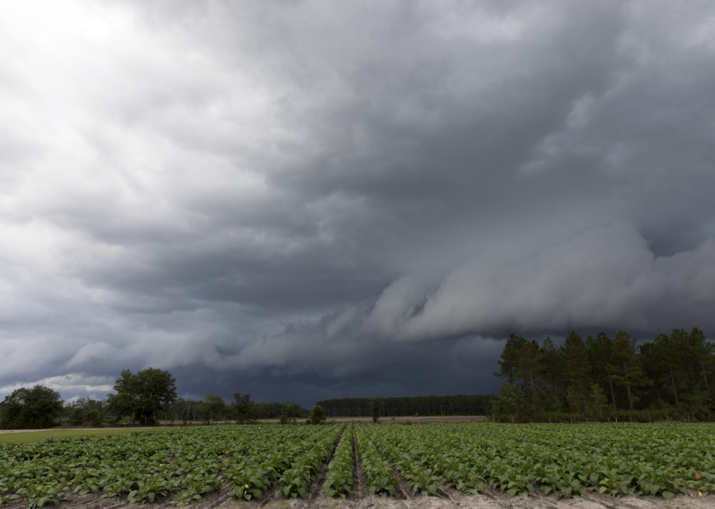
Resilience planning has become increasingly complex, especially in places where limited staffing, burdensome grant processes, uncertain funding and unclear returns on investment make it difficult to implement long-term improvements. Despite these challenges, resilience efforts are taking shape both within Georgia and across the United States.
Commissioned by The Pew Charitable Trusts and developed by the Institute for Resilient Infrastructure Systems at the University of Georgia, this effort presents the findings of a year-long statewide assessment to identify, implement and proactively plan for Georgia’s resilient future.

This project, funded by NASA’s Research Opportunities for Space and Earth Sciences (ROSES) program, will generate predictive models that can anticipate the terrestrial habitat types that will develop on restored floodplains and the wildlife they can support. This will help the U.S. Army Corps of Engineers (USACE) and other partners make more informed decisions and account for their contributions to regional biodiversity conservation in levee setback projects.

With increasing threats due to climate change, defense programs throughout the United States are investing in collaborations that will allow them to better understand and address the ways that extreme weather, climate change, and other hazards could impact missions. Navy Region Southeast recently signed the IGSA, which will provide UGA with an estimated $20 million over ten years, to enhance the Navy’s resilience against environmental hazards on installations across the southeast.

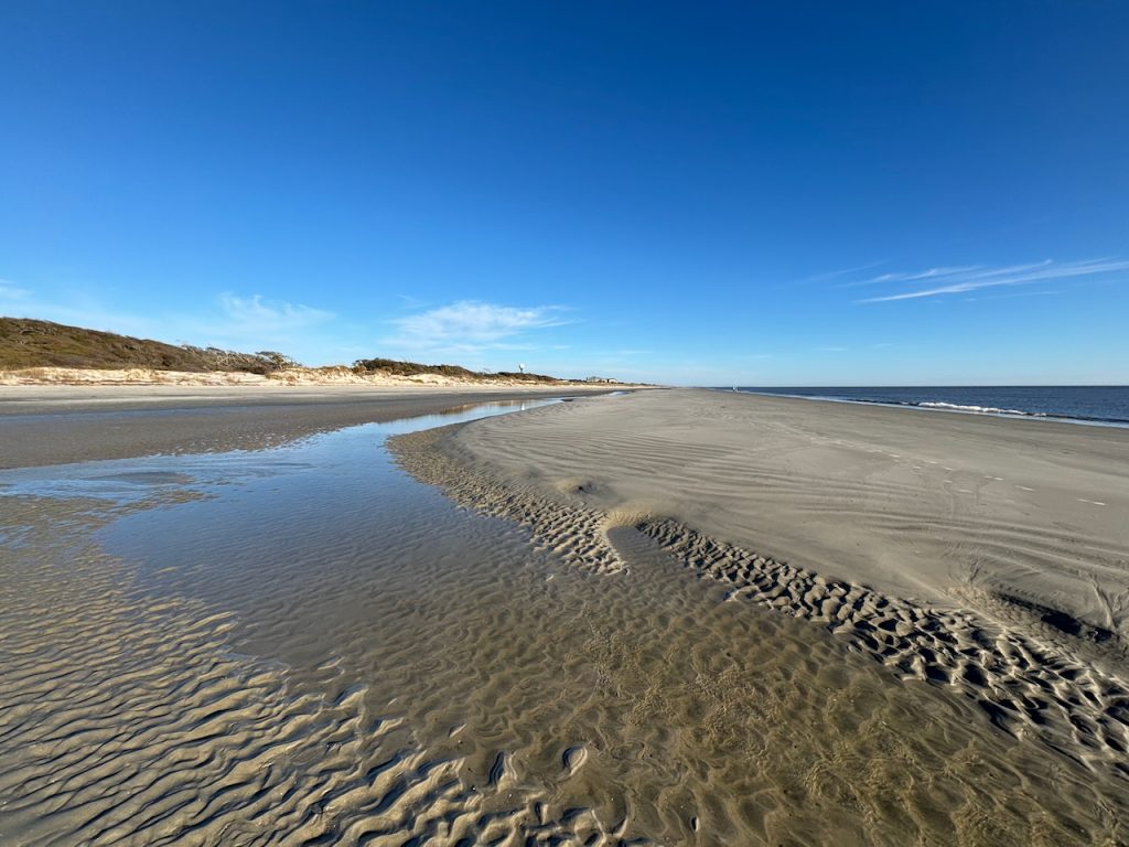
This project focuses on disaster resiliency and coastal hazards through post-hurricane natural beach and dune recovery and real-time forecasts of coastal water levels, inundation, and waves, and will take place over two years.
This project is managed by the Coastal Ocean Analysis and Simulation Team (COAST) at the Institute for Resilient Infrastructure Systems. UGA COAST is focused on solving a wide range of complex coastal issues for present and future conditions.

University of Georgia researchers are helping the island establish actionable guidelines to better manage sea-level rise and flooding, specifically to combat “sunny-day” flooding. The researchers created a Geosurvey, which, alongside crowdsourced photos from island residents, identified areas vulnerable to flooding, erosion, and marsh die off. The researchers organized a virtual charette in spring 2021 to pinpoint potential conflicts and to find their possible solutions.

Coastal regions across the United States are beset with increasing flood hazards arising from stronger and more frequent storms, sea-level rise, tidal fluctuations, and the compounding effects when these natural and climate-driven hazards coincide. This team is developing a new rapid risk assessment methodology that can be used to better understand the flood risks to transportation infrastructure, taking into account social vulnerabilities of the local population. The methodology is designed to produce maps that clearly depict geographic areas and specific roadways that deserve transportation planners’ attention.

Education is both a goal in itself and a means for attaining the other goals of the N-EWN. The network is well-positioned to accelerate and expand EWN implementation by influencing current practice through education as well as shape a new generation of EWN problem-solvers.

When choosing between different projects, the US Army Corps of Engineers (USACE) is required to assess multiple alternative plans and select the alternative that maximizes net benefits. Natural infrastructure (NI) typically offers a wide range of co-benefits, some of which are difficult to quantify and monetize (for example, improved habitat for biodiversity, water filtration and improved aesthetics). If these co-benefits are left out of the calculation of net benefits, NI is disadvantaged in the comparison. This project aims to characterize USACE’s NI projects to understand how the organization considers costs and benefits and to identify challenges in assessing NI for improved accuracy and efficiency in measuring and estimating project benefits.
Traditional approaches to reducing the risk of coastal and riverine floods include the construction of conventional infrastructure (CI) such as levees and floodwalls. Over the last decade, there has been a push towards Engineering With Nature (EWN) and the use of natural infrastructure (NI) (wetlands, barrier islands, coastal dunes, forest, riparian buffers) into resiliency and risk management planning to reduce flood impacts rather than relying on gray infrastructure alone. However, the relevant spatial scales and dimensions of NI need to be assessed to maximize flood protection benefits for a range of flood hazards and related risks.

The UGA College of Engineering serves as one of eight university partners with nonprofit research institute RTI International to establish the Thriving Communities Technical Assistance Center (TCTAC) to help communities across the Southeast advance environmental initiatives in their communities. The EPA funds 16 TCTACs across the country.

This project aims to restore oyster reefs and salt marshes around the Gullah Geechee community of Hogg Hummock on Sapelo Island, GA. This habitat restoration will provide resilience and multiple benefits in the face of probable future climate-related changes.
An improved mechanistic understanding of spatially complex asymmetrical tidal flows over intertidal salt marshes will be incorporated into this understanding of habitat restoration design, and engagement with community stakeholders in habitat restoration design to garner community support and improve the multiple benefits to the community.

The ongoing biodiversity crisis necessitates a fundamental shift in how we manage resources and conduct economic development. While nature-based solutions are growing in popularity, we don’t have clear answers on how infrastructure development affects biodiversity. That’s where this team comes in.
An interdisciplinary collaboration stemming from the Network for Engineering With Nature (N-EWN) Biodiversity Working Group, this project aims to create “biodiversity scorecards” for use in infrastructure development and corporate operations management.
The IRIS Sustainable Sediment Management (S2M) Program was founded to advance policy and practice to expand and diversify the benefits achieved through sediment management, reduce the costs and impacts of sediment management operations, and create resilient riverine and coastal landscapes and infrastructure.
Rising seas are damaging coastal habitats in Mississippi and Alabama and increasing flood risk to coastal communities. The beaches and dunes on our coastal barrier islands are being eroded away, and coastal marshes are drowning and in need of coastal restoration activities. There are more activities needed than can be accomplished, requiring approaches to evaluate proposed projects. We are particularly responding to the management community’s interest in assistance for prioritizing restoration on the barrier islands compared to the interior marshes in the Mississippi Sound.

Current research efforts seek to better understand the interactions between flood flows and urban channels, floodplains and riparian zones as influenced by urban infrastructure and efforts to mitigate impacts of urban development, green infrastructure (GI), low impact development (LID), and sustainable urban drainage systems (SUDS) on flood response and other environmental consequences.

This study proposes a comprehensive resilience management framework that aims to bring stakeholders from different critical sectors and society together to collectively work under a common objective of achieving over-arching resilience for the nation of Qatar.
The 5-year, $4.4 million project is based on the merit that achieving a deep and truly effective national resilience framework with added value for policymaking and business continuity is only achieved by accounting for the human, social, behavioral and larger societal factors impacting physical and technological assets.

Across the United States, the U.S. Army Corps of Engineers (USACE) has a portfolio of nearly 25,000 miles of levees under its jurisdiction, with an additional estimated 10,000 miles of levees under local or other ownership. These levees have dramatically altered the landscape of river basins and the communities within them. Evolving public values, repeated levee failures, and increasing extreme weather events have driven the search for better ways to manage flood risk, to repair flood-damaged levees, and to meet environmental and ecosystem needs.

CLASIC is a user-informed screening tool that utilizes a life cycle cost framework to support implementation of stormwater infrastructure, including green, hybrid green-gray, and gray infrastructure practices. The CLASIC tool integrates Multiple-Criteria Decision Analysis (MCDA), which enables consideration of co-benefits for green infrastructure. There are three integrated components in the CLASIC tool: life cycle cost; performance; and co-benefits.

Large infrastructure projects represent important investments. To ensure that they function as intended throughout their lifespan, they often include monitoring programs. Innovative nature-based solutions have the potential to efficiently provide multiple services for societal benefits at lower cost than conventional infrastructure. However, we are still learning how to design projects to maximize these benefits and ensure they continue over time. Therefore, we need to invest in research monitoring to learn from these investments, so that designs can continually improve.

Dams across the United States are aging, with the cost to repair or remove all known deficient non-federal dams estimated at over $1.5 billion. Even for functioning dams, there may still be a number of reasons to remove them, from emissions reduction to flood risk mitigation to wildlife benefits. However, the decision to remove a dam is fraught with competing objectives– that’s where this project comes in. This tool helps decision-makers approach potential dam removal projects by allowing them to weigh objectives and considerations for tradeoffs.

An Industry-University Cooperative Research Center (IUCRC) integrating data science and modeling, risk assessment and decision theory, and economic and policy analysis to develop innovative solutions to society’s climate challenges.

This project aims to identify and characterize coastal inundation risk, which is compounded with contamination risk from point and non-point sources of pollution.
The team will look at current and future inundation risks using simulated storms, map contamination risks from point (Superfund sites) and non-point (septic tanks) sources and estimate the economic impact to the properties and structures at risk.

This project addresses threats to the military mission at Lawson Army Airfield from an increasing number of floods (and resulting erosion) of Laundry Creek. Researchers determined that by restoring the historic flow path, removing the creek from the Clear Zone, and infilling the current channel at the end of the runway, the project will improve safety and operation concerns while laying the groundwork for long-term ecological and infrastructural resilience. This project also underscores the importance of combining military requirements with environmental sustainability, setting the stage for future nature-based solutions across Lawson Army Airfield and Fort Moore.
As shorelines change and infrastructure ages, communities may be faced with how to strengthen their shoreline or protect against flooding. Using an example of a failing bulkhead that is slated for repair, landscape architecture can play a meaningful role in each step of the process for implementing nature-based infrastructure: scoping, decision-making, implementation, and operations. This collaborative handbook demonstrates the basic concepts of enhancing biodiversity through infrastructure design in coastal systems.

Most ecosystems are impacted by human activities to some degree, but this can vary considerably between locations. Natural factors such as climate (temperature and precipitation) and geology also affect how different cities influence water quality and quantity at different times of the year. In this project, differences in urban impacts on carbon inputs and outputs in streams will be evaluated across cities in the U.S. that have different urban and climate contexts. This research is critical for understanding ecological patterns and processes in urban streams.

Traditional approaches to reducing the risk of coastal and riverine floods include the construction of conventional infrastructure (CI) such as levees and floodwalls. Over the last decade, there has been a push towards Engineering With Nature (EWN) and the use of natural infrastructure (NI) (wetlands, barrier islands, coastal dunes, forest, riparian buffers) into resiliency and risk management planning to reduce flood impacts rather than relying on gray infrastructure alone. However, the relevant spatial scales and dimensions of NI need to be assessed to maximize flood protection benefits for a range of flood hazards and related risks.

Approximately one in four U.S. households relies on septic systems to treat their wastewater. Most of this vast hidden infrastructure is poorly maintained and periodically overloaded by periods of high water use and/or household leaks.
Improving the functionality of these systems will lead to significant improvements to public health and environmental quality. This project will ultimately enable the development of smart septic systems, improved infrastructure asset management, and reduced threats to homes, health, water supplies, and the natural environment.
Rivers and streams provide important services, such as drinking water, fisheries, and recreational opportunities. Yet, the integrity of rivers and streams throughout the globe is compromised by pollution from aging and obsolete wastewater infrastructure. Currently, there is limited understanding of how human waste affects stream communities and ecosystem processes. This project will integrate field observations, experiments, and modeling, to advance our understanding of how rivers and streams are affected by wastewater infrastructure, and will provide new insights into interactions between civil and environmental engineering and ecosystem science.

There are 574 federally recognized Native American tribes across what is now known as the United States. Tribal nations may experience a number of water-related challenges, which can have profound impacts on wellbeing. By collaborating with Tribes across the country, this collaborative effort from UGA and the U.S. Army Corps of Engineers aims to manage water resources more holistically and equitably.


