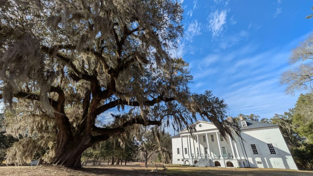
CHARLESTON, SC – Institute for Resilient Infrastructure Systems (IRIS) students come from departments across the University of Georgia, but they share a few common characteristics: an interest in work that transcends traditional disciplines, a drive to build a better future, and a love for getting out of the office and into nature. Natural Infrastructure Fellow Noah Cleveland spent his spring break this semester doing just that.
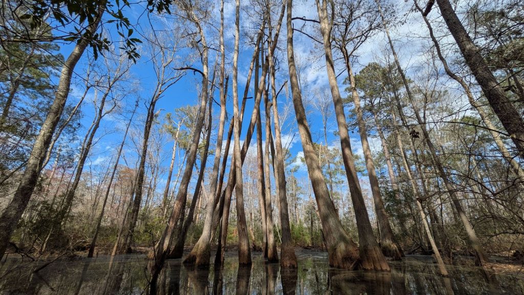
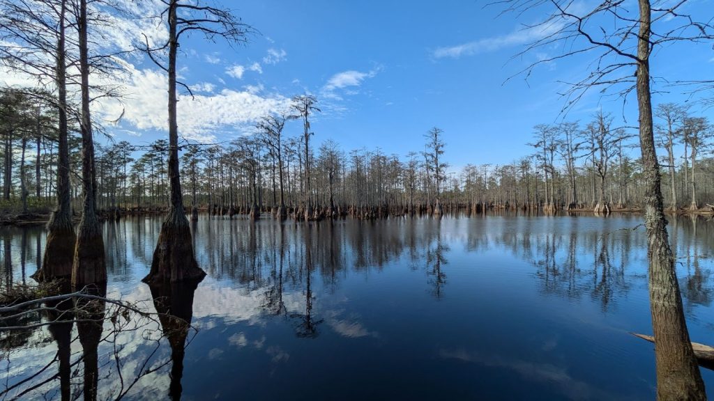
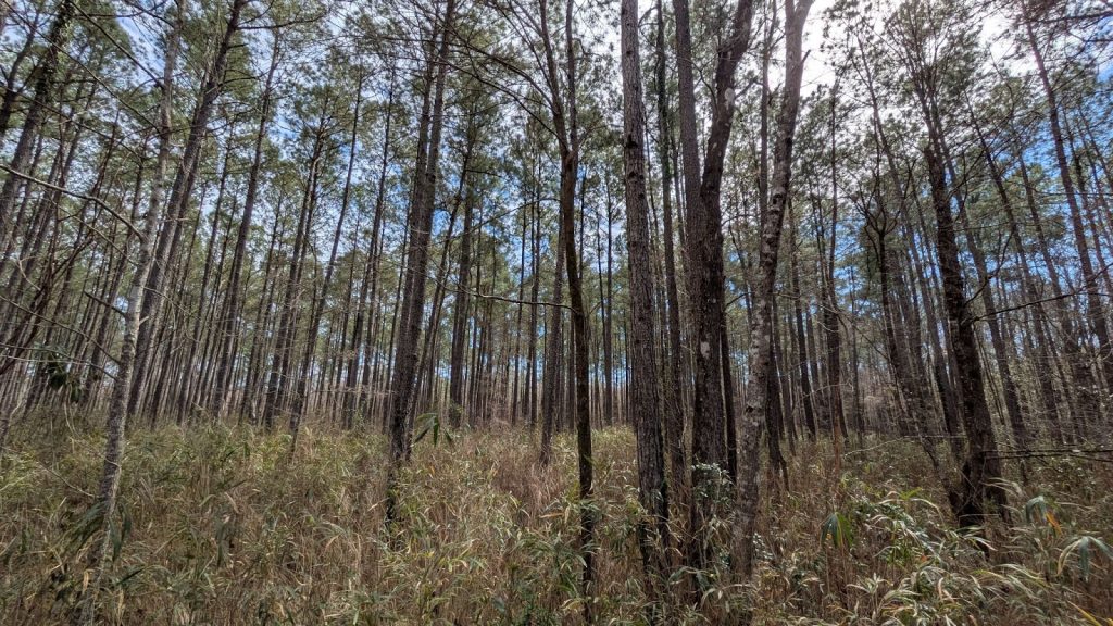
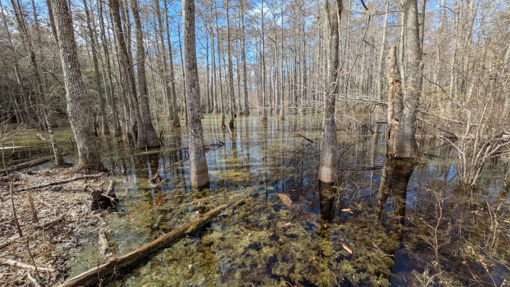
Cleveland is a Master of Landscape Architecture (MLA) student, but rather than designing urban greenspaces, his research takes place deep in lowcountry swamps, where he thinks about the wetlands of the future.
“One of the core processes that I’m studying is ecosystem transition,” he explained. “What will the systems we’re seeing now look like in 10, 20, or 30 years, potentially even further down the road?” Cleveland is working with Ducks Unlimited, the sponsor of the Natural Infrastructure Fellowship, on a prioritization and adaptive management plan to protect and conserve critical wetlands throughout changes in natural hazards and land use for years to come.
The Myrtle Beach area, located about 90 miles north of Charleston, is one of the most rapidly growing metro regions in the country, so Ducks Unlimited’s South Atlantic Field Office doesn’t have long to decide what to protect. The first phase of this project has been the creation of a habitat suitability index based on three Southeastern marsh and waterfowl species: the American Black Duck, Northern Pintail, and Eastern Black Rail.
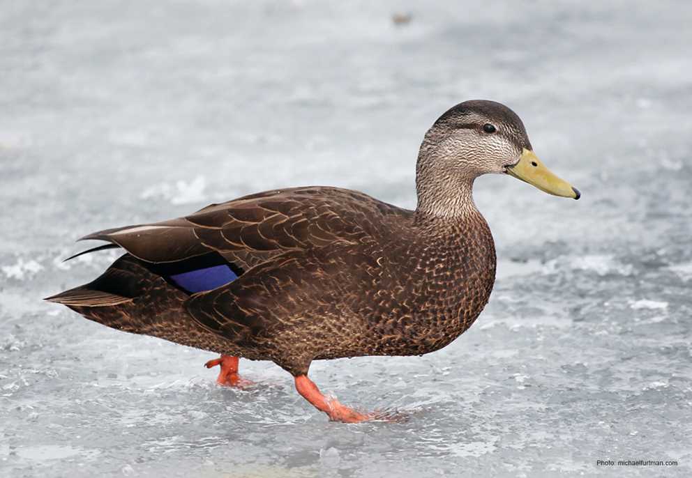
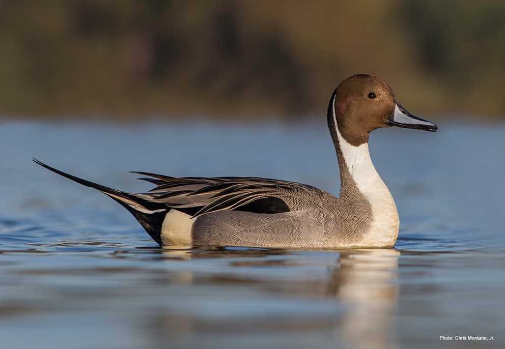
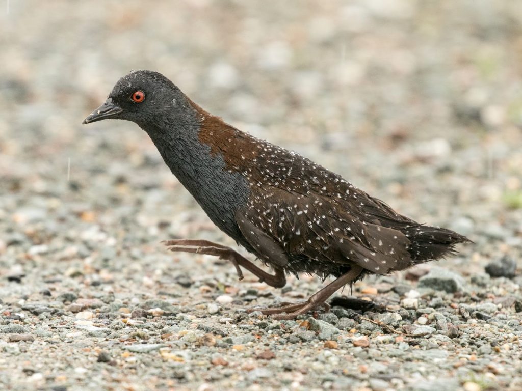
Left to right: American Black Duck (via Ducks Unlimited), Northern Pintail (via Ducks Unlimited), Eastern Black Rail (via U.S. Army Corps of Engineers)
The index evaluates both salt marshes and managed freshwater impoundments, both critical habitat types in the South Atlantic region, and how these ecosystems may change in the future. This will result in a map of the South Carolina coast that indicates where ideal habitat for each of the target bird species is likely to exist.
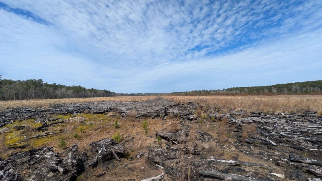
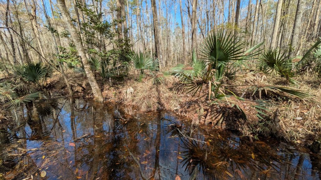
Cleveland spent the first half of the semester working on the first set of suitability maps, seeking habitat for the American Black Duck. With a few initial sites selected, he stepped out of the office and into the field to see his maps come to life.
“This was still fairly early in the process,” he said. “But I was able to pinpoint a couple of different sites to go and visit over spring break, just to get eyes on them, and start to do an inventory, to understand what vegetation types are currently present, and to understand what sorts of land uses are we seeing.”
Next steps include creating a suitability index for the other two focal species, and creating a prioritization framework for Ducks Unlimited to proactively work to conserve habitat in the region. However, Cleveland is thinking further ahead: “I’m trying to pinpoint potential future projects for IRIS students, and think about students who come after me,” he explained. “Maybe they can start to zoom in on some of the areas that we’ve prioritized and find projects to flesh out a little bit more.”
So, if you’re the kind of person who likes working across disciplines like conservation, landscape planning and environmental engineering–but also love getting your boots on the ground–we might be the place for you.
Ducks Unlimited is an international leader in wetland and waterfowl conservation, and part of their support for this mission is done by supporting student research like Noah’s. Learn more about the Natural Infrastructure Graduate Fellowship here.
Photos provided by Noah Cleveland, UGA